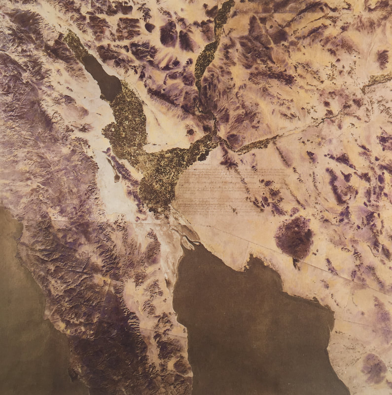
Satellite map of Colorado River delta by Newton and Helen Mayer Harrison, Lagoon Cycle
Route Map
Coordinates 32°00' N 115°00' W
Key:
Purple 12/20/17 through 1/1/18
3 days trailing canoe behind bicycles across the delta and conducting interviews
Loop began at Rancho Mil with a layover at the Cienega de Santa Clara
Red: 1/6/18 through 1/12/18
7 days paddling from the Rio Hardy to the Rio Colorado and through the estuary and Upper Gulf of CA
Yellow: Dredged channel through the tidal sandbar
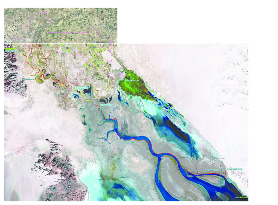
Satellite Imagery and GPS Courtesy of Steve Nelson
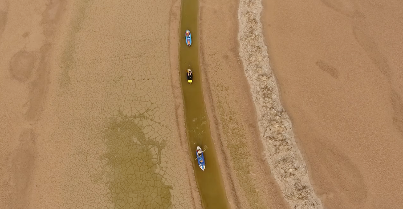
Drone Imagery Courtesy of the Sonoran Institute, Dredged Sandbar
